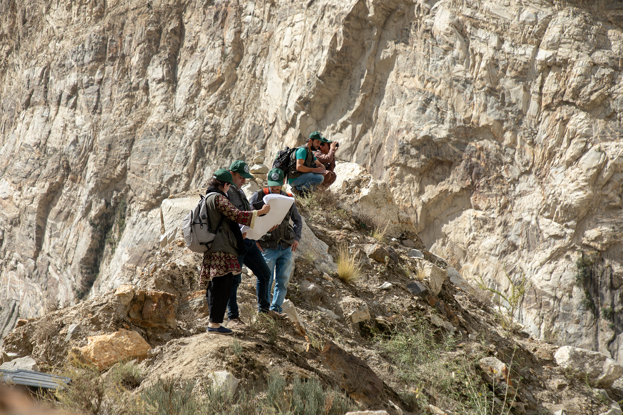
In some of the most rugged, high-altitude valleys in Afghanistan, Tajikistan and northern Pakistan, the Aga Khan Agency for Habitat (AKAH) has successfully deployed drones to map and monitor geo-hazards and risks, including the size, condition and movement of glaciers and glacial lakes.
As the frequency of disasters increases because of climate change, these technologies will help AKAH identify the level of risk for these communities and undertake interventions that will make the villages more resilient. Photo: AKDN / Christopher Wilton-Steer. Learn more.
Emergency Management teams have conducted hazard, vulnerability and risk assessments for nearly 2,500 villages and supported communities to develop village disaster management plans based on these assessments. They also work to improve preparedness through weather monitoring posts and Early Warning Systems (EWS) monitoring avalanche, mudslide and flood risks. AKAH maintains a network of over 30,000 active volunteers for disaster response and management, providing them regular training on emergency response, first aid, and search and rescue.


